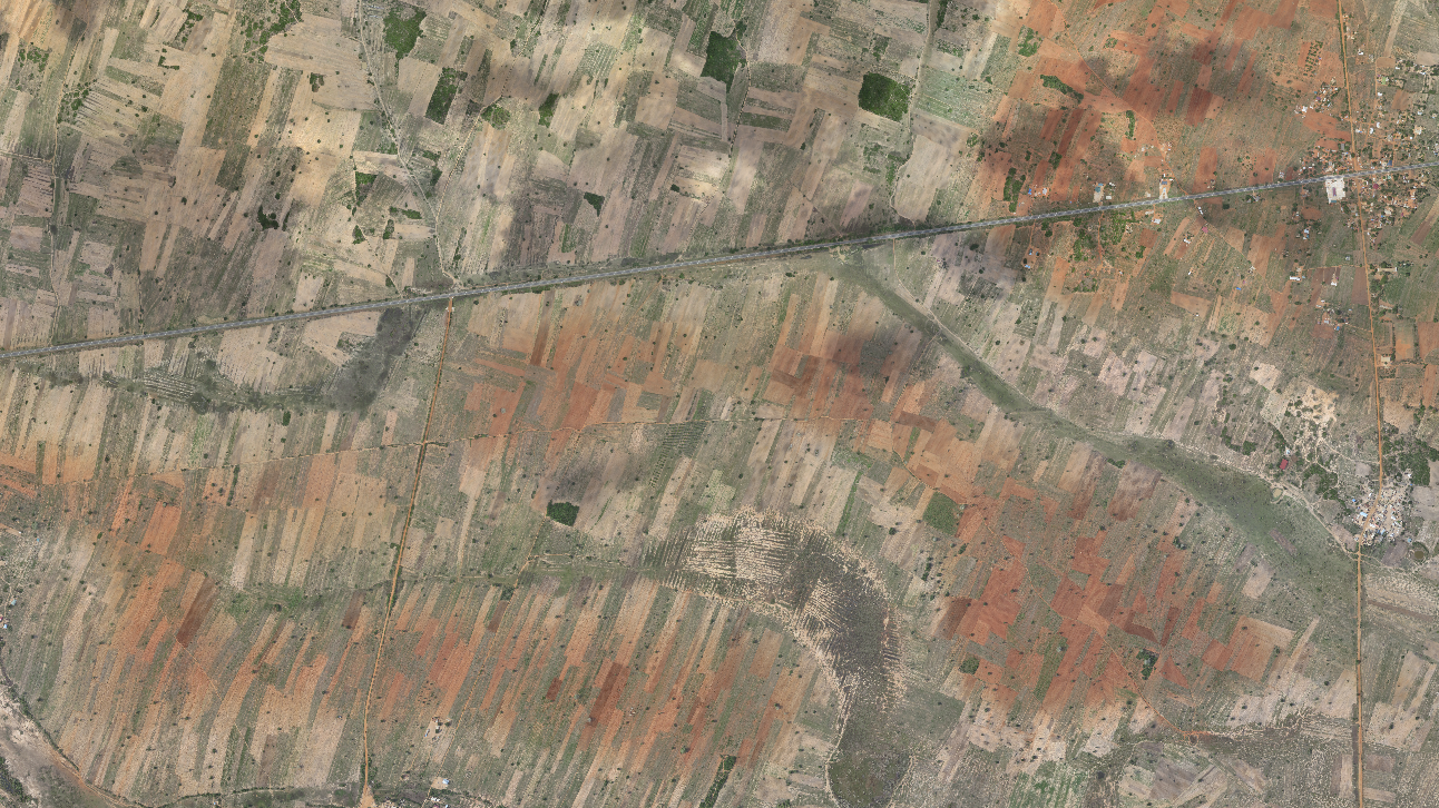
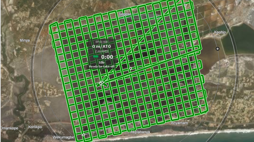
In relation to the wind energy project developments of Upwind International AG in Ghana, NEK executed extensive drone surveys of the entire project areas of the proposed wind farms.
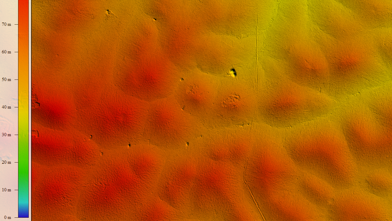
The thousands of aerial images gained from these surveys allowed to process a comprehensive orthomosaic and to derive a digital surface and elevation model. Fruther, the data also delivers valuable information on local agricultural land usage, encroachments, possible restriction areas as well temporary water courses and flood areas.
Activities
Flight planning and execution
Processing of orthomosaic
Processing of Digital Surface and Terrain Model (DSM / DTM)
Mapping of on-site features
Land cover classification
Technical data
Drone: eBee classic (sensefly)
Resolution: 20 - 30 cm/px
Number of flights: 100+
Area covered: approx. 52,000 ha
Date
2014, 2016 and 2019
Location
Ningo-Prampram and Ada West, Greater Accra Region, Ghana