Land survey in Ghana successfully concluded

In the last few weeks, our specialists have carried out a comprehensive land survey in Ghana in connection with the development of 6 large wind parks.
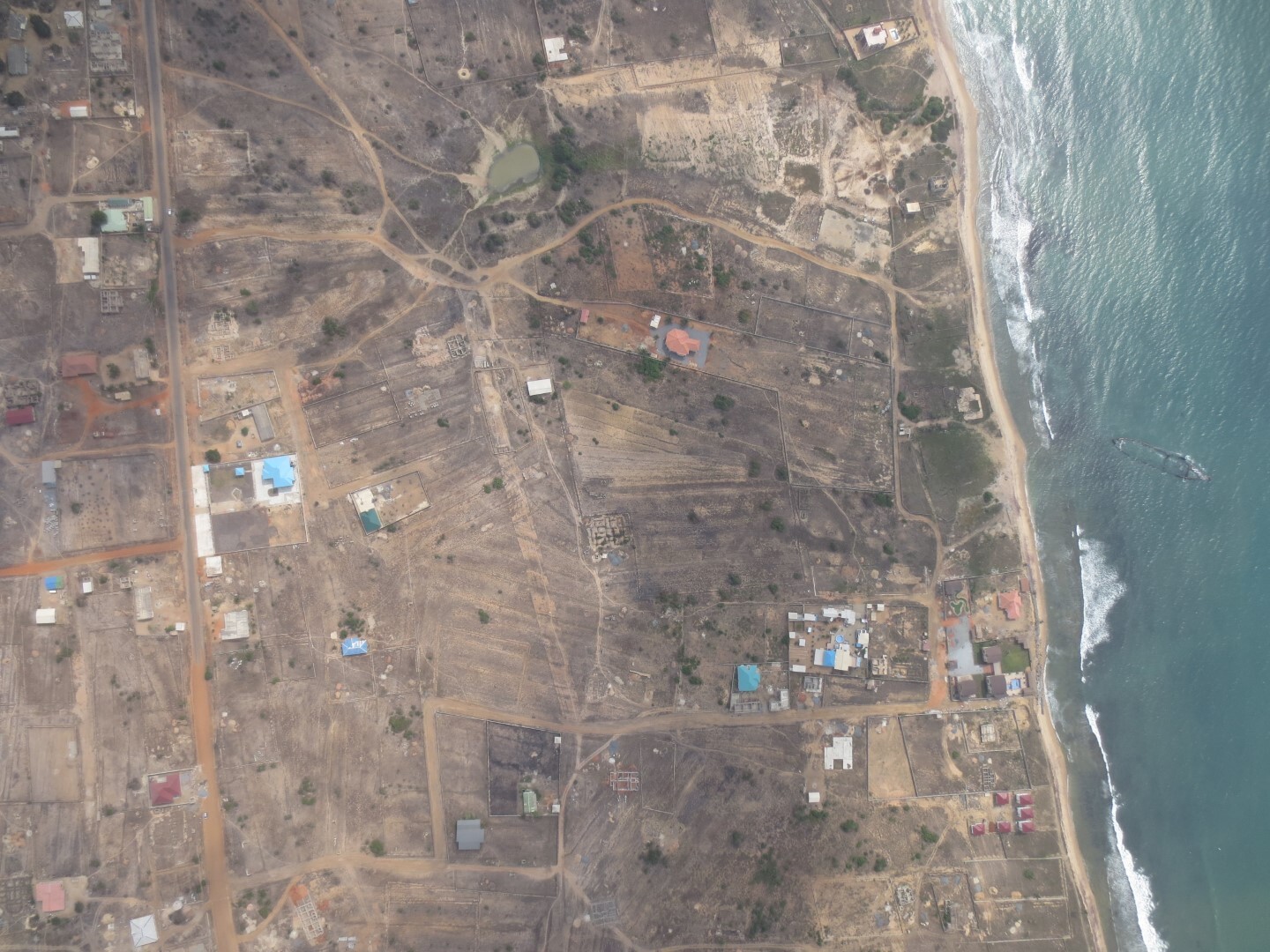
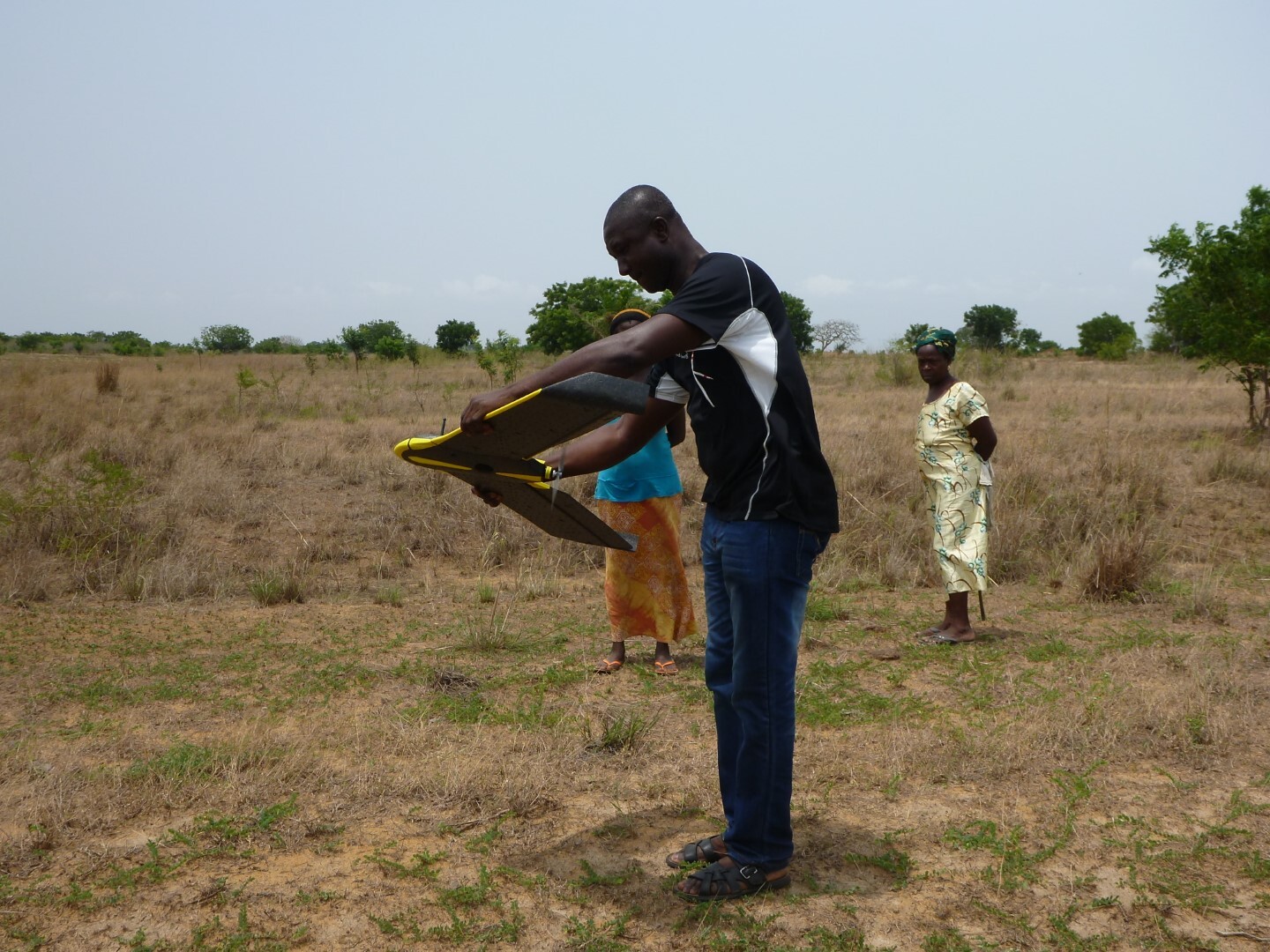
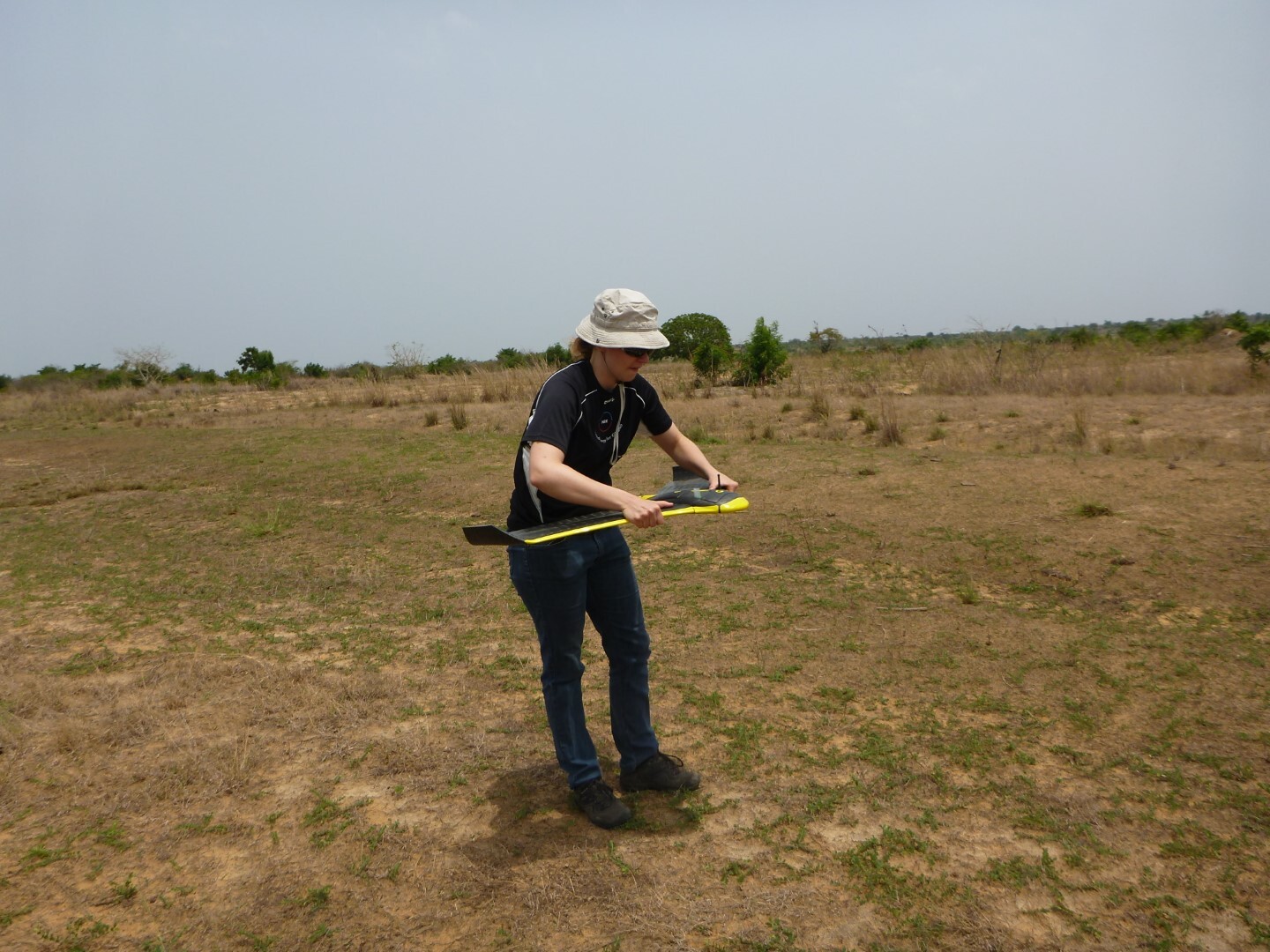
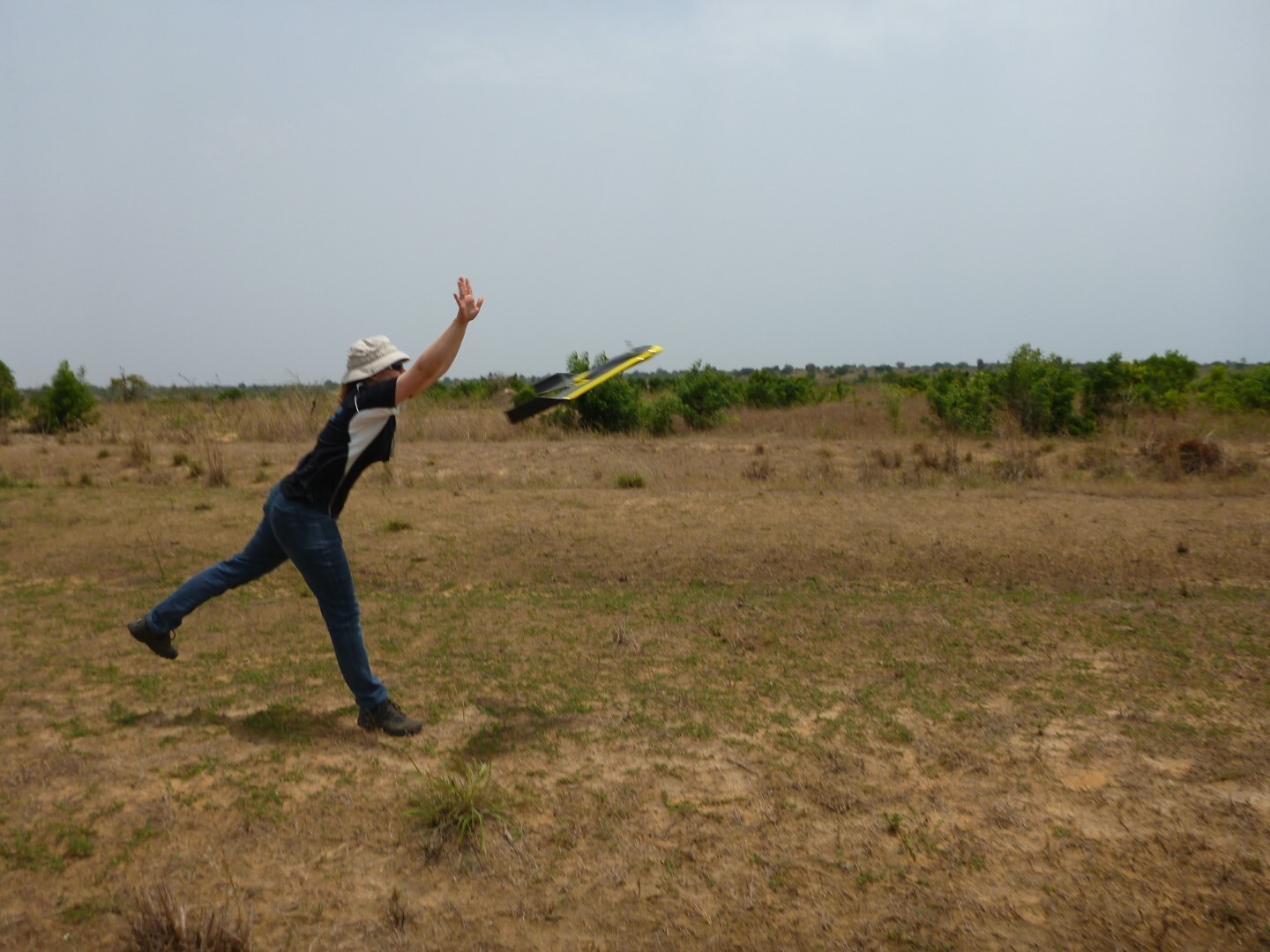
As no up-to-date maps with adequate resolution or precision are available in Ghana, we have done a land survey with our own drone and with a resolution of 20 cm for the detailed planning of six wind parks on the Atlantic coast. The area where the wind parks are planned has a size of about 350 km² and was mapped and measured exactly during approximately 150 flights.
Now all the necessary data for generating precise maps and a digital terrain model has been collected and will be used as basis for the detailed planning of the wind parks. The corresponding tasks (micro-siting) will be carried out in the next weeks and months.